
Locate a Pickerington Street Address
Pickerington crosses Fairfield and Franklin Counties, so an address must be placed in the right county before using an Auditor, Recorder, Probate Court, or election office. A Pickerington mailing label and ZIP code do not settle that question. Begin with the current street number, then use the City’s revised Street Listing and the applicable property portal. On the Fairfield side, the Auditor accepts an address, parcel number, or owner name. A Franklin-side parcel belongs in Franklin County’s separate systems.
The address route is a document trail, not a street roster. An Auditor report supplies a parcel lead. GIS connects the parcel to roads, boundaries, and subdivisions. The Recorder then supplies recorded documents. Ohio’s individual voter lookup can help test a named person in the correct county, but it is not a public block-by-block tool. Each result needs its own date and source context.
- Confirm the Pickerington address and county with the City Street Listing, then open the appropriate Auditor property search.
- Record the parcel identifier, situs address, owner name as shown, and legal description from the current report.
- Use the Fairfield GIS layers, where applicable, to place that parcel among address points, roads, subdivisions, and municipal boundaries.
- Search the acquisition or sale parties in the Recorder index and compare the legal description before treating two documents as the same property.
- For a named individual question, use the Ohio voter lookup with the correct county and respect protected or redacted results.
Note: Keep a dated note of the county, parcel identifier, and legal description because address labels and mailing information can change.
Pickerington Street County Check
Fairfield County holds much of historic Pickerington, but the City extends into Franklin County. That split matters most when an address search moves beyond a map. Fairfield’s Recorder describes an index reaching back to 1800 and online document images from January 1980. Franklin County keeps a different official corpus, so a Fairfield no-result does not rule out a Franklin-side record.
Some current road segments make the distinction concrete. The City Street Listing identifies Refugee Road 1429-1545 and Long Road 7650-9906 as Franklin County. Use the county boundary before searching a deed, court matter, marriage record, or voter record. City limits, postal delivery, and county custody are separate questions.
Pickerington Address Search Fields
The Fairfield County Auditor Advanced Search is the best first stop for a Fairfield-side Pickerington address search. Its visible address controls break an address into components rather than asking for one long string. The advanced form also offers sales, location, land, and residential criteria. It does not show a ZIP field, so a ZIP alone is not the right property-search method.
| Fairfield search field | Use in a Pickerington address search | Format or boundary |
|---|---|---|
| House # | Starts the street-number search | Optional address component |
| Direction (Abbv) | Separates directional street names | Use the displayed abbreviation |
| Street Name and Street Type (Abbv) | Finds the parcel by its situs street | Both are separate components |
| Owner Name (Last First) | Tests a documented owner lead | Use the stated last-first format |
| Buyer, seller, sale date | Narrows a conveyance period | Sales criteria, not proof of current presence |
| City/Township, neighborhood, subdivision | Provides local geographic filters | No visible ZIP filter |
A result may show an owner and a mailing address as well as the parcel’s situs address. They serve different purposes. The Fairfield Treasurer cautions that a mailing address can differ from the physical property address. A trust, estate, or entity on a parcel report calls for a Recorder, business, or probate check rather than an assumption about a household.
Map a Pickerington Street Parcel
After finding a Fairfield parcel, use the Fairfield Auditor GIS viewer to set the address in spatial context. The related official GIS service includes address points, roads, corporation boundaries, parcel boundaries, subdivisions, and township boundaries. Those layers help reconcile a street number with a lot and city boundary. Map proximity alone does not identify people connected with adjacent parcels.
The Fairfield GIS viewer is the parcel-view step for a Pickerington address search.
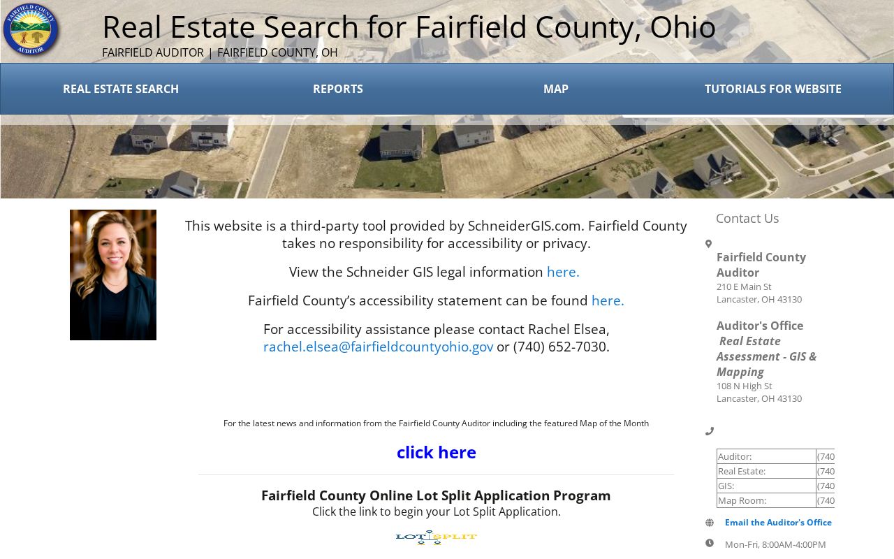
Use the selected parcel’s PIN with the Auditor report, then verify a title question through the Recorder rather than relying on a map label.
The official Fairfield GIS layer service separately documents the address, road, parcel, boundary, subdivision, and township layers. Its Find and Identify operations provide a source-aware way to inspect mapping information. The service is a map aid, and the county’s mapping information should be reconciled with the Auditor record.
The official layer inventory shows the records geography behind a Pickerington address search.
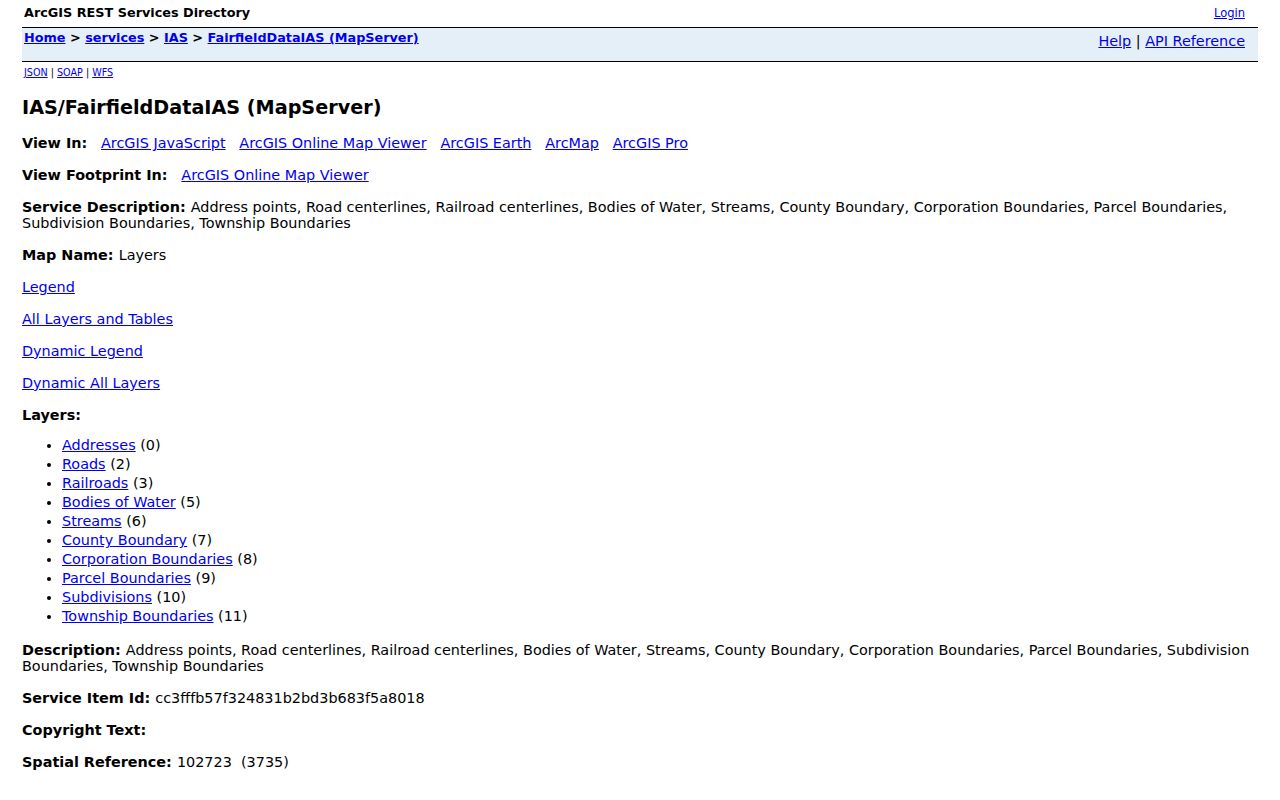
Address points and parcel polygons are useful for checking the right lot, but they do not convert a map into a list of residents.
Pickerington Street Records by Address
Address-keyed records answer different parts of a Pickerington street question. The Auditor identifies a parcel and owner lead. GIS shows its placement. The Recorder preserves deeds and related documents. City records may hold a defined permit or code file. Each source needs a narrow question and the right county. None of them establishes every person at a street address.
| Address record | Local keeper | What it can show | Access boundary |
|---|---|---|---|
| Parcel report | Fairfield or Franklin Auditor | Owner lead, parcel, situs, valuation, sales links | Search the county that holds the parcel |
| Parcel and address layers | Fairfield Auditor/GIS | Geometry, roads, boundaries, subdivisions | Reference mapping, then verify with Auditor |
| Recorded documents | Fairfield AVA or Franklin Recorder | Deeds, liens, plats, mortgages, legal description | Recorded-party trail, not current presence |
| Building or code record | Pickerington Building Department | Defined project, permit, inspection, or case evidence if releasable | No public address-result index was verified |
| Voter registration result | Ohio Secretary of State or county election authority | Individual public registration result when not protected | Statutory exclusions and confidential entries apply |
Parcel and legal-description terms are important in this chain. A parcel is the tax-mapped unit. A situs address is the physical location used to identify that parcel. A plat is a recorded map of lots or subdivisions. A criss-cross directory, when a collection actually has one, is an address-ordered directory rather than a name-ordered one. The local historical holdings have not published verified criss-cross years, so do not assume a run exists.
Note: A mailing address can be a contact lead, while a situs address identifies land; neither is a complete household record.
Pickerington Deed Chain by Street
For a Fairfield-side address, the Fairfield Recorder AVA search moves a property question from a parcel toward its recorded title chain. Start with the current acquisition, capture the document number or book and page, the parties, recorded date, and legal description. A grantee receives a property interest. A grantor transfers one. Search the seller as an earlier grantee, then compare the legal description and lot at every link.
The AVA index is the recorded-document component of the Pickerington property trail.
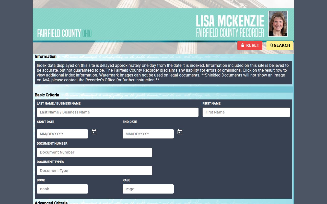
The index reaches to 1800, while scanned documents are online from January 1980, so older research may require an index-book step before an image appears.
For historical Fairfield deeds, consult the Recorder’s Old Deed Index User Guide. It directs users to select the index material, enter the first letter of a party name in Last Name, and use Grantor or Grantee key pages with alphabetical and date ranges. The date displayed for an index-book row can be a system placeholder, not the actual deed recording date. Read the book range and key page before recording a date.
The Recorder’s illustrated guide explains the historical index method used for a Pickerington deed trail.
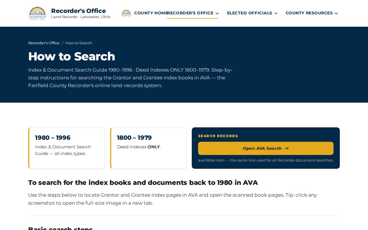
That extra step prevents a historical index result from being mistaken for a fully dated deed image.
Pickerington Franklin Street Records
A Pickerington street search on the Franklin County side belongs in the Franklin County Official Records Search. Its quick search covers grantor or grantee, subdivision, document type, document number, and recorded-date choices. The advanced mode includes party names, recorded-date ranges, document types, book, volume, page, full-text OCR, subdivision legal, and freeform legal criteria.
The Franklin Recorder interface is a separate Pickerington street-record route for Franklin-side addresses.
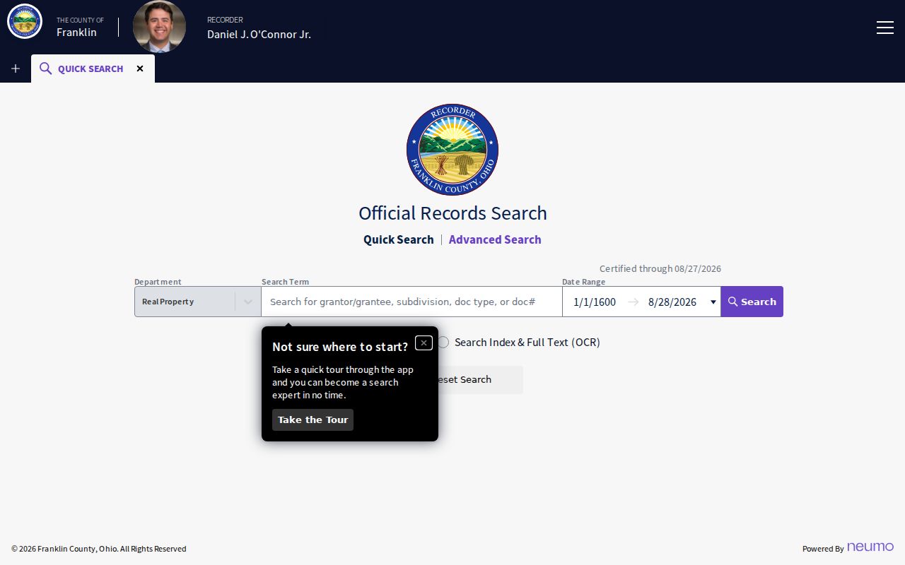
Search the relevant county’s index first, then keep the legal description with the result so a similar street name or party name does not join unrelated parcels.
Pickerington Address Record Requests
The Pickerington Building Department publishes current OpenGov application categories for residential and commercial building, plumbing, and contractor registration. The public page verifies applications, not a public permit-history search by address. A defined request can still be useful when it identifies the project address, date window, permit type, or case number sought.
Legacy permit materials show why an exact address request can be productive: project address, lot or suite, subdivision or plaza, parcel number, description, valuation, square footage, use, construction type, and contractor information were recorded. Do not reuse legacy contact details. Code Enforcement also takes a detailed-address complaint, but no public code-case list was verified. Ask the City for a specified record and expect exempt material to be reviewed.
Note: A permit or code record can document an address event, but it does not confirm the current people associated with that address.
Pickerington Historic Street Clues
Historic telephone directories can place a name, number, and locality address in a particular publication year, but they are subscriber lists rather than complete resident rolls. Columbus Metropolitan Library has a 1914 Franklin County Phone Book that explicitly includes Pickerington, plus verified area issues for 1925-1936 and 1944-1945. Those scattered volumes are useful when an address trail has reached the past, but gaps must remain gaps.
The Pickerington Public Library digital resources offer in-library genealogy databases, My History materials, and Sanborn History Maps. The Pickerington-Violet Township Historical Society has historic documents, directories, and photos in its reference area. Historical collection details belong on the Pickerington Directory Book; use the exact title, year, and page when an entry supplies an address lead.
Pickerington’s original 1815 plat was named Jackson Ville before the town was renamed. That older term can help with a catalog or plat question, but no citywide street-renumbering year was verified. Compare old street names, lots, subdivisions, township context, and legal descriptions rather than inventing a renumbering explanation.
Pickerington Street Search Limits
A Pickerington street search can show a parcel owner, a recorded party, or a particular public election record. It cannot establish every household member, utility customer, forwarding address, or motor-vehicle address. The federal DPPA limits motor-vehicle personal information. Ohio’s protected voter records and Safe at Home participants may also be absent or redacted, and a non-match never authorizes an inference about where someone lives.
Ohio’s Safe at Home Address Confidentiality Program protects eligible participants through a substitute-address process. The lawful response to a missing or mixed record is to check the relevant custodian and respect exemptions. For a family-history question, preserve the source and date. For a property question, verify the parcel and document with the county that holds them.
Lawful use. Pickerington street and address records support personal, family-history, property-history, and civic research. Do not use any result to stalk, harass, intimidate, or harm another person.