
Pickerington ZIP Code Coverage by Address
Only one standard postal code is verified for a municipal Pickerington address: 43147. It is served by the Pickerington Post Office. That fact is useful for mailing and for narrowing an address check, yet it is not a shortcut to city residency, parcel jurisdiction, or a list of people at an address. The City itself warns that a Pickerington mailing address or school-district address does not necessarily mean the address lies within City limits.
| ZIP code | Verified postal coverage | Post office | Record-search note |
|---|---|---|---|
| 43147 | Standard Pickerington postal code | Pickerington Post Office, 520 N. Hill Road | Verify the complete delivery address. The code does not decide city residency or county custody. |
| No second city ZIP verified | None supported by the researched official sources | Not applicable | Do not add a nearby postal code to a Pickerington record search without a USPS address result. |
Nearby 43110 belongs to Canal Winchester and unincorporated Violet Township contexts in the research. It should not be treated as a Pickerington city ZIP based on proximity alone. A full-address postal verification is the sound route when a boundary address is in doubt.
Pickerington 43147 ZIP Code Verification
The USPS ZIP Code Lookup is the first place to confirm the delivery code for a complete Pickerington address. USPS also describes PO Box, carrier, and mail-pickup access at the local location. Its result answers a postal-delivery question. It does not tell a researcher whether the address is inside the City, in Fairfield County, or in Franklin County.
The USPS ZIP Code Lookup screen is shown in the official capture below.
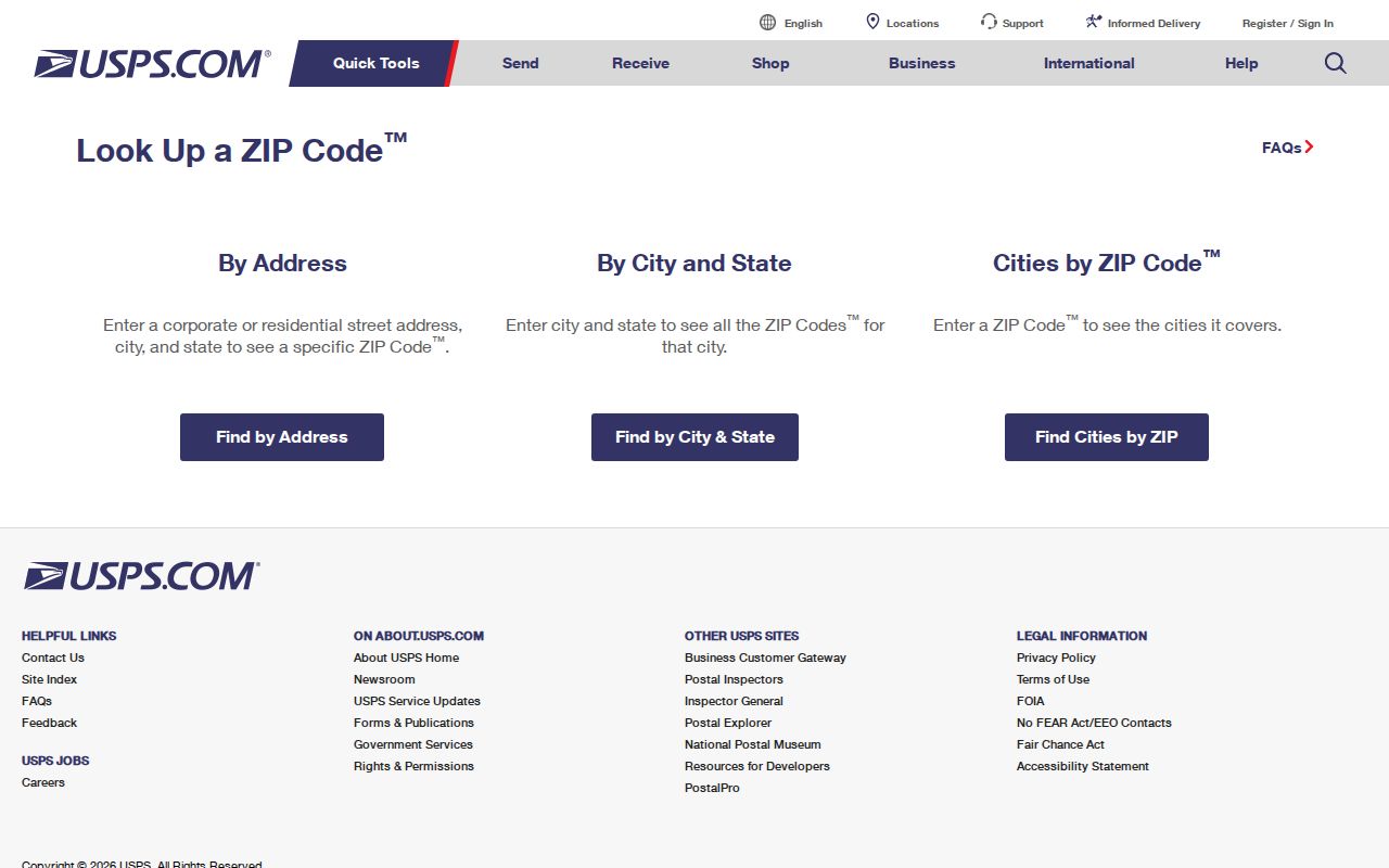
Use the returned code with the exact street address, then continue to the City street-range reference and the applicable county records system.
A PO Box ZIP is a code assigned for post-office boxes rather than a claim about a physical residence. A unique ZIP is assigned to a single large receiver, while a carrier route is a mail-delivery grouping. None of those labels replaces a parcel number or an official city-boundary check.
Pickerington ZIP Code Filters Have Limits
Fairfield County's Auditor Real Estate Assessment search is an address, parcel, owner, sale, and location tool. The visible advanced form does not show a native ZIP code field. Its City/Township, neighborhood, and subdivision selections can help refine a Fairfield-side parcel question after the address has been checked, but they do not turn the property roll into a ZIP-wide resident list.
| Fairfield Auditor field | How it is used | ZIP code boundary |
|---|---|---|
| House #, Direction, Street Name, Street Type | Builds an address search from its components. | No visible ZIP field accompanies the address fields. |
| Owner Name (Last First) | Finds a property ownership lead. | An owner result does not establish every person at an address. |
| Parcel Number | Opens a particular parcel record. | A parcel is a land-record key, not a postal-boundary key. |
| City/Township, neighborhood, subdivision | Offers location criteria for a Fairfield search. | Use only after selecting the proper county and address. |
For the Franklin County portion of Pickerington, use the separate Franklin County Auditor system rather than reading a Fairfield no-result as an answer. The city-wide ZIP label does not merge those two property-record systems.
The Fairfield Auditor announced an updated Real Estate Property Search on June 30, 2026. Its current navigation and mapping may change again, so verify the visible fields live before treating a location control as a ZIP filter. The absence of a visible ZIP field is useful information: it signals that the search should return to a complete address, parcel, subdivision, or city and township criterion.
Search a Pickerington ZIP Code Through Records
A ZIP code can narrow the place to investigate, but the researched official portals do not support a one-click ZIP roster for Pickerington. Work from the individual address and the question being asked. This protects against mixing a postal label with the wrong parcel, city limit, or county record.
- Confirm the full delivery address with the USPS lookup, including the street number and street name.
- Check the City of Pickerington Street Listing for its included range and any county-line note.
- Select the applicable county's auditor portal, then search the address or parcel rather than assuming that a ZIP search is available.
- When a named-person election question remains, use the Ohio Voter Lookup with first name, last name, and the correct county.
The voter form can conditionally narrow a name match by street name after the required name-and-county search. It is an individual confirmation tool, not a ZIP-wide block list. Once the address is narrowed to a street, the Pickerington street directory has the fuller address-record workflow.
Ohio's form keeps the county decision in the search itself. A Pickerington name must be checked under Fairfield or Franklin according to the address, because city and postal identity do not combine the registration databases. A returned voter record is also bounded by the statutes that withhold protected identifiers and confidential records.
Note: Use the postal code to verify delivery, then use the address and county to select a public-records custodian.
Pickerington ZIP Code Residency Uses Street Ranges
The City Street Listing, revised March 24, 2026, is the local reference for current city street ranges and inclusions. It is more useful than a mailing label when a search depends on whether an address is actually within the City. The list specifically identifies Refugee Road 1429 through 1545 and Long Road 7650 through 9906 as Franklin County segments.
Those examples show why a postal code is not enough to choose an Auditor, Recorder, Probate Court, or Board of Elections. A property or voter question tied to one of those segments follows the Franklin County path. A range outside the city can still have a Pickerington mailing label, so the City reference and the parcel record should be read together.
Pickerington ZIP Codes Do Not Set City Limits
Census ZIP Code Tabulation Areas are generalized statistical polygons, not USPS delivery boundaries. Neither a ZCTA nor a city-name mailing label determines a municipal boundary. For a Pickerington address, compare the situs address, tax mailing address, parcel or PIN, legal description, and city or county jurisdiction before treating a search result as local to the City.
The distinction also keeps ownership claims in bounds. A tax mailing address may differ from the physical, or situs, address. The property record can offer an ownership or correspondence lead, but it does not establish every member of a household at the situs.
- ZIP vs. ZIP+4
- The five-digit ZIP sorts a broader delivery area. ZIP+4 adds a more precise mail-delivery segment.
- PO Box ZIP
- A code assigned to post-office boxes, not proof of a physical street address.
- Unique ZIP
- A ZIP assigned to one large receiver. No unique Pickerington city ZIP was verified in the research.
- Carrier route
- A postal delivery grouping that helps mail handling but does not set a legal or city boundary.
Pickerington ZIP Code Parcel Keys
After an address passes the postal and City checks, the parcel record supplies the next set of identifiers. Fairfield's official GIS services list address points, roads, corporation boundaries, parcel boundaries, subdivisions, and township boundaries. The parcel schema separately models situs fields and mailing fields, along with PIN, owner-index fields, legal description, sale, and value fields.
The Fairfield Auditor GIS gateway and the official ArcGIS service help place a Fairfield parcel against city and county layers. Map labels are reference aids. Use the selected PIN or address to open the Auditor record, then use the applicable Recorder system if a deed or legal-description question needs confirmation.
On the Franklin County side, a separate parcel viewer is linked from the county Auditor's site. If a later deed question arises, Franklin County also has its own Official Records Search, with different grantor, grantee, document, date, legal-description, and OCR options. That county split is the important geographic feature here: a Pickerington ZIP code can begin a search, but the parcel and jurisdiction complete it.
Pickerington ZIP Code Labels and City Residency
Pickerington's Parks and Recreation registration information makes the local point plainly: a Pickerington mailing address or Pickerington Local School District address does not automatically establish City residency. The Street Listing is linked for that verification. This is a practical geography check for family history, property questions, and civic-record requests.
The City has grown across two counties, and nearby development can share a postal identity without sharing the same record custodian. Begin with the exact address each time. Then retain the postal result, current street-range result, county selection, and parcel identifier together so a later record can be checked against the same place.
That record set also helps when a street is near a county or corporation line. The street-range check answers current City inclusion, the postal result answers delivery, and the parcel record supplies land geography. Keeping the three separate avoids a common error: assuming that a familiar ZIP code has already answered a question about municipal residence or county custody.
Note: No official source reviewed verified a second city ZIP, a PO-Box-only city ZIP, or a Pickerington ZIP realignment year.