
Pickerington Neighbors at the Parcel Level
For the immediate area around one Pickerington address, the defensible record trail is parcel by parcel. Fairfield GIS can show contiguous parcel geometry, address points, roads, city limits, and subdivisions. The Auditor report can provide a current ownership lead for a selected parcel. A Recorder document can then test a title or document event for that one parcel. Those sources describe land and recorded parties, rather than a complete account of who is present on the block.
| Source | What it shows about a block | Access |
|---|---|---|
| Fairfield Auditor GIS and parcel layers | Touching parcels, address geometry, PINs, roads, boundaries, and subdivision context. | Public viewer and official map service; map data are reference information. |
| County Auditor parcel report | Ownership lead, situs, mailing placement, valuation, sale, and parcel context. | Use the correct county portal; owner and occupant are different questions. |
| Recorder document index | Recorded conveyances and the legal-description trail for one parcel. | County-specific search; a document party is not a current-block list. |
| Ohio Voter Lookup | A statutory public registration result for a named person in the correct county. | Individual form with protected and confidential records withheld. |
| Community association sites | Public contacts, events, or the existence of a member directory. | Voluntary resources may have no public directory or require authorized member access. |
Pickerington crosses Fairfield and Franklin Counties. A city mailing label does not select the custodian, so identify the county before beginning any property or election check. On the Franklin side, use its separate Auditor and Recorder systems rather than treating a Fairfield search as citywide.
Pickerington Neighbor Maps Begin With a PIN
Begin with the focal address and its parcel identifier, often called a PIN. In the Fairfield parcel schema, the PIN sits beside owner-index, situs, mailing, legal-description, sale, and value fields. That makes it a more stable research key than a presumed name copied from a map label. Preserve the address, PIN, county, and report date before opening a second parcel.
The official Fairfield Parcel Boundaries service is the source for the parcel-field capture below.
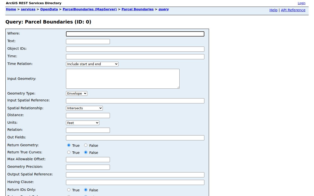
The service confirms separate situs and mailing fields as well as PIN and owner fields, so a map result should be reconciled against the current Auditor report before it is used.
A mailing placement can differ from the physical, or situs, address. A trust, estate, or entity can also appear as owner. Those differences are reasons to check the underlying parcel and document record, not reasons to infer who your neighbors are.
Pickerington Neighbors and GIS Layers
The Fairfield Auditor GIS gateway and the county's official ArcGIS service provide the local map context. The researched layers include address points, roads, corporation boundaries, parcel boundaries, subdivisions, and township boundaries. Find and Identify are listed service operations. That combination helps distinguish parcels that touch from parcels merely near each other.
The accessible research did not document a live consumer popup, buffer, or radius control. Do not promise one. Instead, map-browse the polygons that immediately touch the focal parcel, record each PIN, and open each parcel in the applicable Auditor system separately. The map is a way to organize a small block question, not a people map.
Corporation and township layers also matter at Pickerington's edges. A parcel can be close to the City while being in a different jurisdiction. Check the current City Street Listing and county assignment before using the next records channel.
Fairfield's parcel service supports standardized and advanced queries, ordering, and pagination, with a stated maximum record count of 1,000. Those service features describe a map-data system, not permission to assemble a neighborhood identity file. The useful local task is narrower: place one address among the correct roads, city boundary, subdivision, and adjacent parcels, then verify any record lead with its custodian.
Map a Pickerington Block by Parcel
This workflow keeps the question limited to the immediate block and to records that can be checked. It starts with the geographic connection, then treats each parcel as its own record question. A selected parcel can lead to ownership and a deed trail, but it cannot establish every person associated with the address.
- Locate the focal address in the correct county's GIS or Auditor property system and capture its PIN, situs address, and jurisdiction.
- Keep address points, parcel boundaries, roads, corporation limits, and subdivisions visible while identifying the immediately touching polygons.
- Record each adjacent PIN, then open its individual Auditor report to see the dated property context and named ownership lead.
- When a parcel needs a title check, use the applicable Recorder index and compare the legal description, rather than relying on a street label alone.
The process is address to focal parcel to touching parcels to individual reports. For a full named-street record chain, use the Pickerington street directory rather than stretching a block method into a streetwide claim.
Note: Map proximity can identify parcels worth checking, but each property record must be confirmed on its own current report.
Pickerington Neighbors in Civic Groups
Local associations add community context, but the researched sites have very different public boundaries. Cherry Hill Civic Association describes a 181-household neighborhood, public leadership, contacts, and events. Ashley Creek says owners are automatically members and supplies management or contact information. Pickerington Village Association is a downtown civic group with associate and friend memberships, newsletters, and meetings. None is a citywide resident roll.
Cherry Hill Civic Association
Public leadership, contacts, and events for the 1991 neighborhood. A public member directory was not verified.
Ashley Creek Association
Owner-member association context and management contact information, not a public household list.
Pickerington Village Association
Voluntary civic and downtown connection with news and meetings, not an address-indexed roster.
Glenshire Civic Association
A resident-directory layer is advertised, but the directory is not available for public browsing.
The Cherry Hill Civic Association public page is represented in the official capture below.
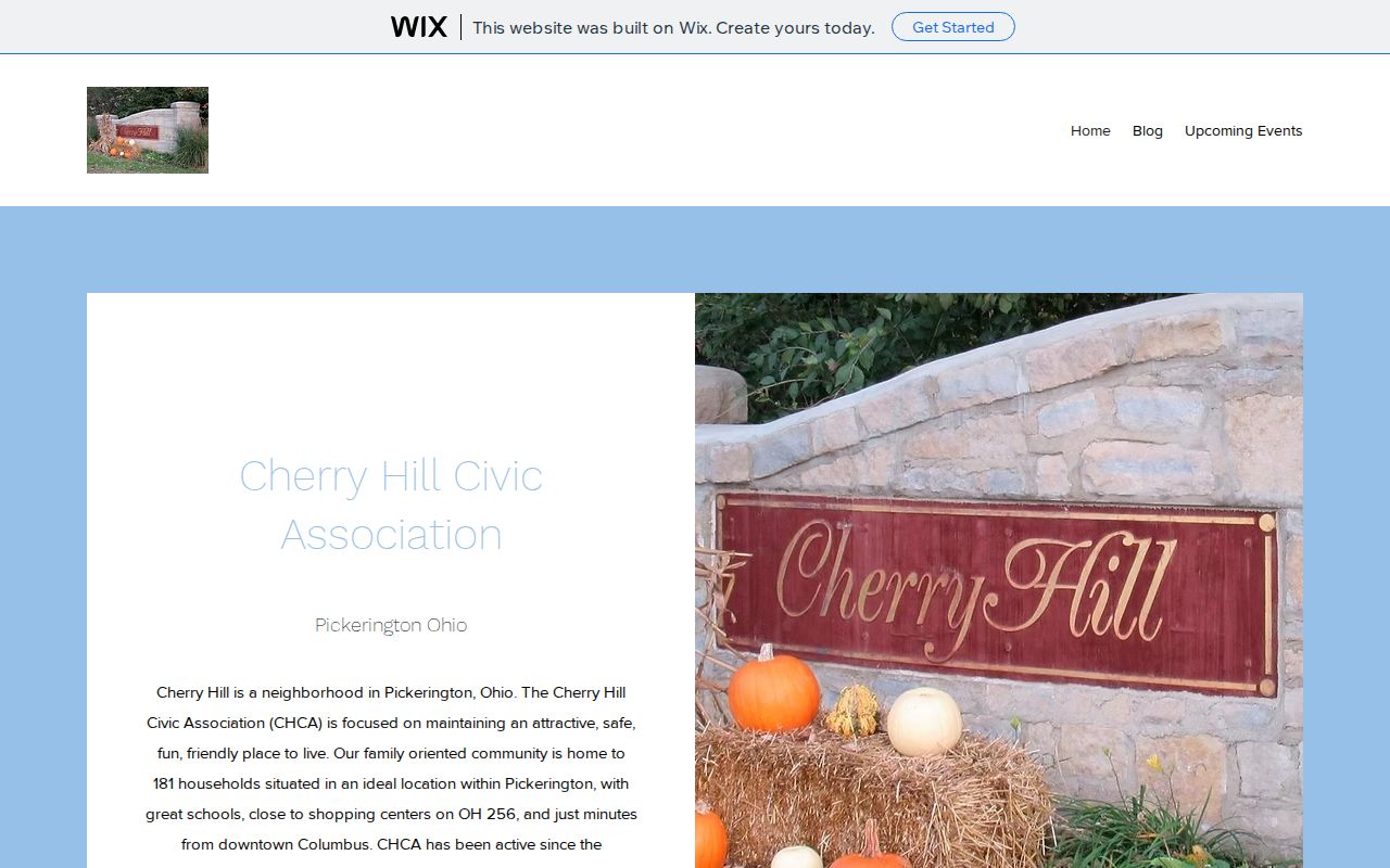
The public page supports using an association as a contact and event resource, not as a source for publishing or reconstructing a member list.
Pickerington Neighbor Directories Have Boundaries
Some community sites acknowledge a directory while keeping it within the group. Glenshire's resident directory is login-only. Terrace Ridge South has directory, board, minutes, and forum layers behind a password. Those limits are part of the record, not an obstacle to work around. Authorized members can use their own association's tools; everyone else should rely on public contacts and official property records.
The Terrace Ridge South association site illustrates this member-access boundary.
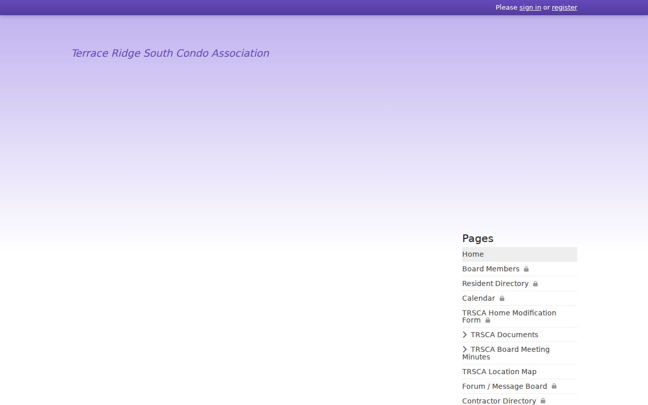
The login requirement shows that an association directory is voluntary and private, even when the group itself has a public web presence.
| Official parcel and voter records | Community-directory tools |
|---|---|
| County or state custodians define fields, access routes, and statutory exclusions. | Associations set their own membership and access rules. |
| Records can identify a parcel or an individual statutory registration result, with limits. | Public pages may give contacts or events without making membership data public. |
| Use the current official source and the correct county. | Do not bypass a login or imply that membership identifies everyone at an address. |
Pickerington Neighbors and Voter Records
Ohio's Voter Lookup requires first name, last name, and county. A Street Name selector can appear after the name-and-county search to narrow a match. For an individual result, Ohio Revised Code 3503.153 identifies fields such as name, residence address, precinct, registration date, voting history, and last activity, subject to the public-record limits in ORC 3503.13.
The result does not disclose ballot choices, and Ohio does not register voters by political party. Phone numbers, email, full or partial Social Security numbers, driver-license or state-ID numbers, confidential voter records, and certain protected addresses are excluded. A nearby address is not a reason to turn an individual lookup into a block roster.
Fairfield Board of Elections is the county channel for a local file or precinct question. Franklin County's Election Vault has a city-named public file, but it remains subject to statutory exclusions and does not authorize republishing a street list. Match the county first, then ask the election authority about a defined record.
Ohio's state election-data portal also publishes county snapshots and a custom-data request route. Its delivery mechanics are date-limited and governed by the same protected-record boundary. For a block question, a precise name, address, county, and public purpose are more accurate than a broad request for everyone nearby.
Pickerington Neighbor Privacy Limits
Public property records tie names to parcels and document events. They do not identify every household member. Utility and delivery records are not a public block resource, and motor-vehicle personal information has separate federal limits. A missing result can also reflect a wrong county, an index gap, or a lawful redaction. It is not proof that a person is absent from a location.
Ohio Safe at Home protects qualifying participants through a substitute-address program. ORC 149.43(A)(1)(ee) and the voter-record rules can withhold protected name, address, and related information. A designated public service worker may also have an address-redaction route. The correct response to protected or missing data is to respect the limit and, when needed, ask the specific custodian about an allowed correction or request process.
Note: Ohio's public-records route allows a focused request for a defined record, while exempt information must remain protected.